


Image Gallery
Click on an image to open the relevant gallery.
-
Archaeological Survey
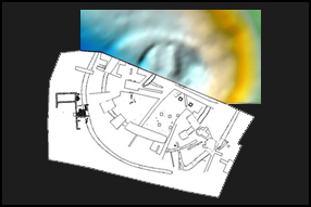
Gallery of images showing the use of survey in Archaeology. From the different types of equipment used to the display of processed survey data.
-
GIS
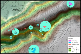
A selection of images showing the visual power of the GIS system. ArcGIS has been used to produce these illustration unless indicated.
-
Illustration
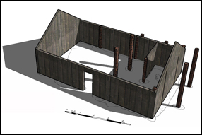
A collection of final publication images from commercial and research projects. From site plans to 3D reconstructions.